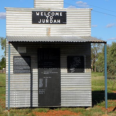
Located in Far West Queensland, in the heart of the Channel Country, Barcoo region is one of the more remote shires with an area of 61,974 square kilometres in far Western Queensland, incorporating the townships of Jundah, Stonehenge and Windorah.
The Barcoo Shire lays claim to the most exceptionally unique place in Australia and the world. It is the only place where two prominent and significate inland rivers, the Thomson and Barcoo meet to form a creek the Cooper Creek.
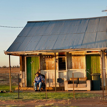
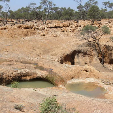
Rich in history, the Barcoo Shire has an outback experience to offer everyone. Along with unique rustic landscapes, distinctive flora and fauna, spectacular wildlife, freshwater fishing, golf, bird watching and stunning sunsets. The Barcoo is also home to Magee’s Shanty, birth place of the famous Bush Christening renowned by Banjo Paterson.
The welcoming three outback towns of Windorah, Jundah and Stonehenge can all be easily accessed via sealed roads and are located within a leisurely drive to the major towns of Longreach or Quilpie.
Barcoo Shire is the gateway to Birdsville, Bedourie, Innaminka, Quilpie, Longreach and Winton to the north.
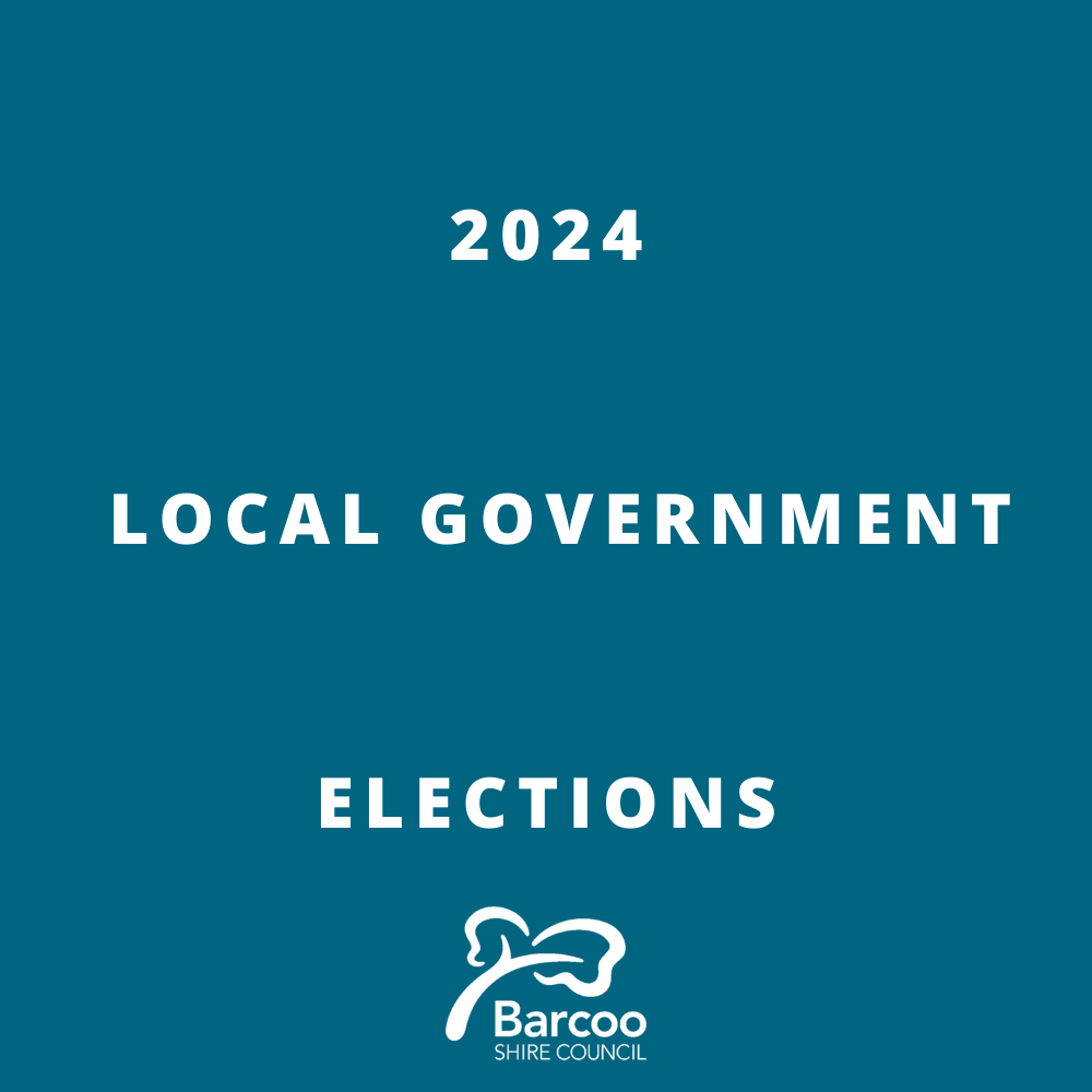
2024 Local Government Elections
Declarations of the 2024 Local Government Election Download the 2024…
Read MoreWindorah Aerodrome Runway Upgrade 11 October – 15 December 2023
The Barcoo Shire Council wish to advise residents that the…
Read More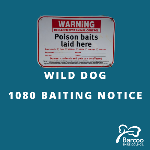
Wild Dog Baiting Program 30 October - 3 November 2023
The Barcoo Shire Coordinated Wild Dog Baiting Program is being…
Read More